The Ministry of Lands says it has acquired satellite imagery and aerial photos of the whole country in its quest to enhance the process of the national land audit.
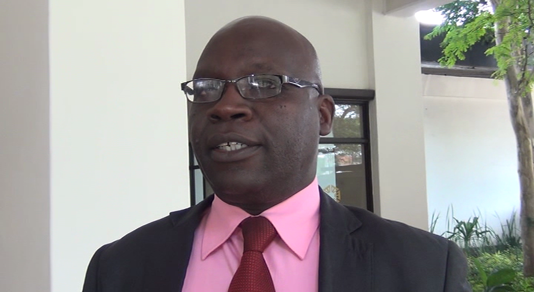
Surveyor General Joseph Minango says the ministry has also embarked on the mapping exercise of the country as part of the national land audit and titling exercise.
Speaking to journalists after the launch of the spatial data infrastructure in Lusaka, Mr. Minango has bemoaned the uncontrolled building of infrastructure by the public on top of already existing government facilities and those belonging to water and power utilities.
He says this has largely been due to lack of proper land auditing facilities.
He says the newly developed portal will enable citizens know which land is available for infrastructure development.
Mr. Minango says the system will also clearly outline the existence of underground power and water utility facilities, to avoid unintended vandalism by infrastructure developers.
 Q FM Africa's Modern Radio
